NU GPS-IMU Sensor Fusion for Vehicle Position Estimation
Timeline: Fall 2025
Location: Boston, MA, USA
Skills:
As part of the Robotics Sensing and Navigation (EECE 5554) course curriculum at Northeastern University, I worked with 2 peers on GPS-IMU sensor fusion to determine a moving car’s path.
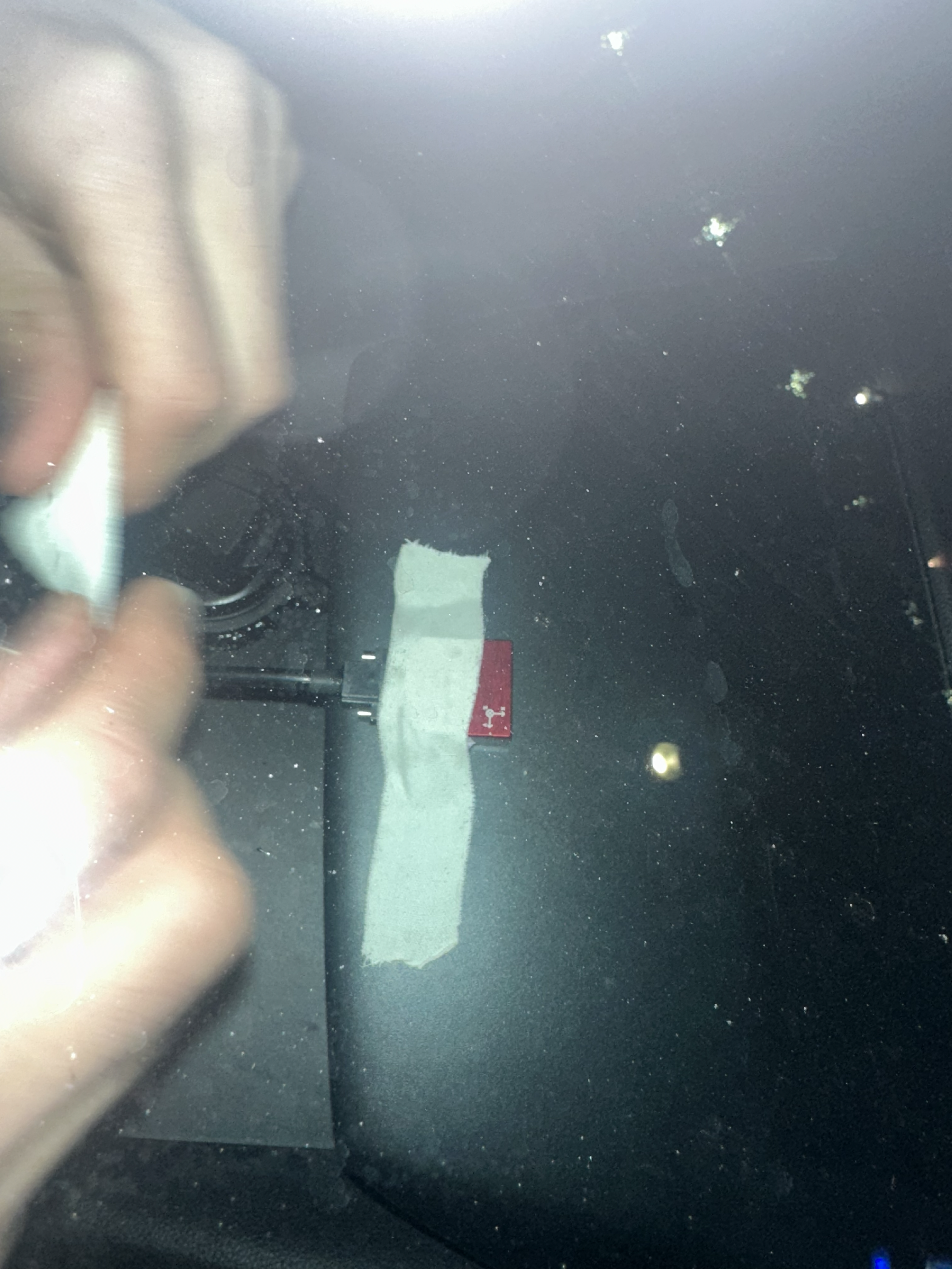
We first verified the working of each individual driver, gps_driver, and vn_driver to ensure the proper functioning of each individual component (GPS & IMU). Then we verified the fusion of the data streams from these two sensors.
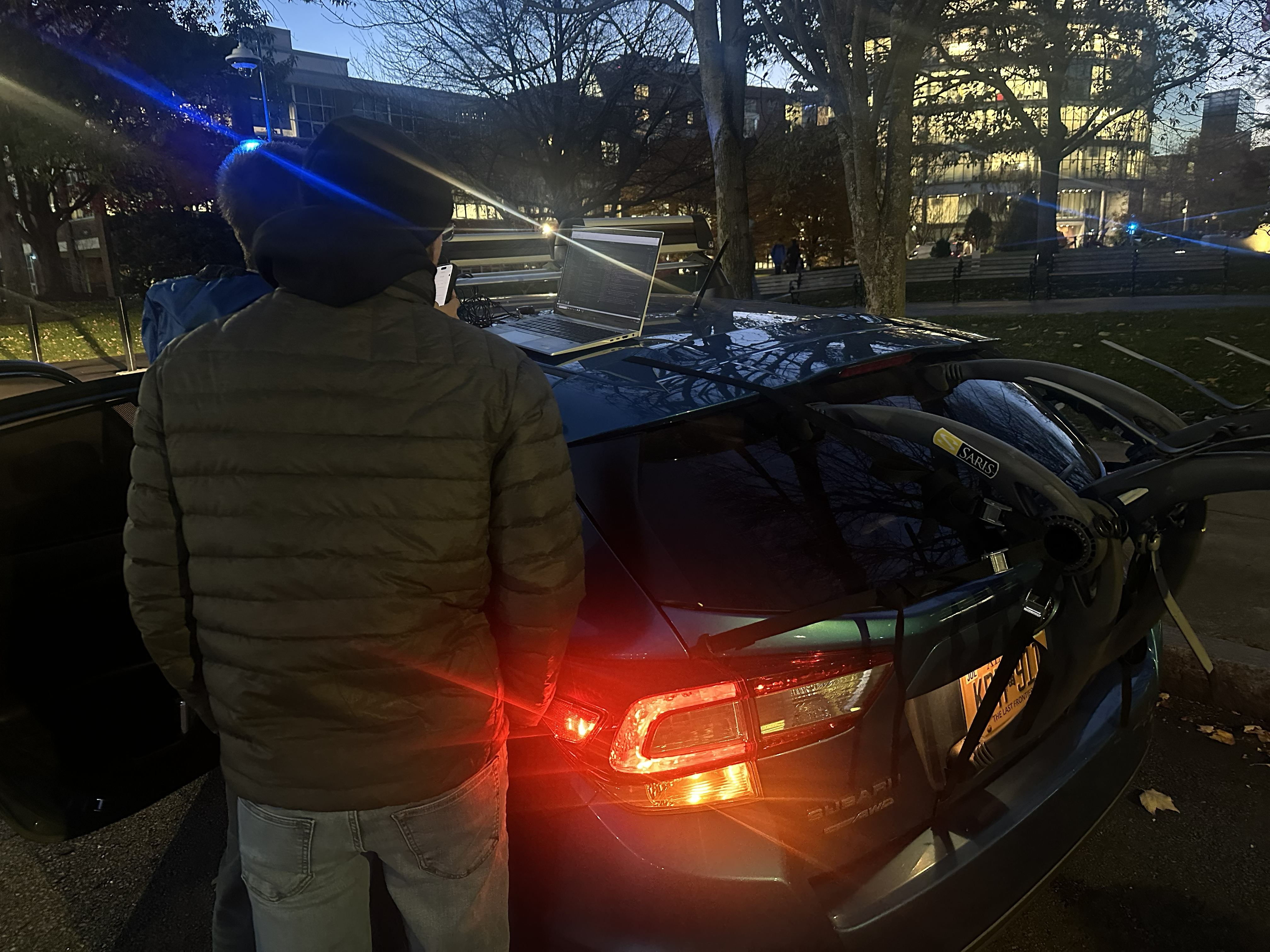
Then we collected data in 4 environments: stationary, stationary with the engine idle, a circular path, and driving in Boston through traffic.
We calculated the calibration from magnetometer data using least-squares. We then plotted the accelerometer and gyro data, along with their time integrals. With this data from the VN and GPS, we plotted the vehicle’s path. We ended our exploration with a brief discussion on the sources of error in this path/position estimation.
For more details please take a look at the Github and the Report